GEO Jobe has been serving our clients and partners since 1999 but you may not be too familiar with the faces behind the company. We thought it would be fun to introduce some of the talented crew behind the company to our readers, users, customers, and partners. We’ve shared a short Q & A with Front-End Engineer, Ken Doman, to help get to know him a little better and learn about our team. Doman is based in Chicago and works closely with our teams in Nashville, TN, and Biloxi, MS assisting in developing and expanding upon our world class GEO products.
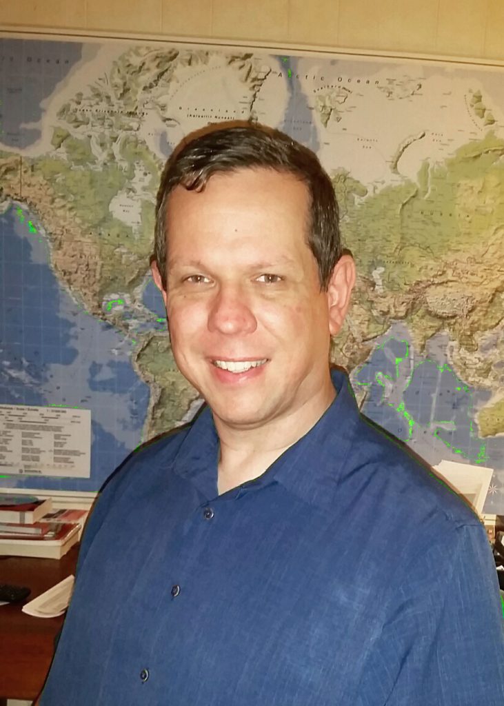
Ken Doman @raykendo
Q: What is your role at GEO Jobe?
A: My job title is Sr. Front-end Engineer. I think the senior part is due to all the premature gray hairs I’ve earned from working in the geospatial field. As for a role, I develop, maintain, and troubleshoot GEO Jobe’s web products like Admin Tools and Mapfolio. I also develop web applications and tools using the ArcGIS Platform.
Q: What is your Educational background?
A: I have a Bachelor Degree in Biology from Rice University down in Houston, TX. The funny thing is, I started out as a computer science major, switched majors, and now develop software. As for my education in the realm of GIS and geospatial tech, that mostly came from the school of hard knocks.
Q: What were you up to before life at GEO Jobe?
A: About 6’2″ to 6’3″, depending on the shoes. Before GEO Jobe, I spent almost five years with Bruce Harris and Associates as a GIS Web Developer. There, I built web applications and solutions for clients across the country. Prior to that, I worked in Plantation, FL and Jacksonville, TX helping them with their GIS Departments.
Outside of the geospatial profession, I’ve been a high school chemistry teacher, a sewer inspector, a lab tech, and I’ve managed a manufacturing plant where I was the only employee. I’ve worn a few hats in my day.
Q: What attracted you to joining the GEO Jobe team?
A: GEO Jobe has an amazing reputation among the ESRI business partners. They have some of the most popular apps in the ESRI Marketplace. They’re making good things happen. Who wouldn’t want to be a part of that?
Q: Is there any specific project or task that you really enjoy(ed) working on? Describe a bit and why
A: I can’t say there’s one project at GEO Jobe that I’ve enjoyed more than the others, since they’ve all been pretty good. But I can tell you about a side project I’ve worked on over the years that I have enjoyed. That would be the ESRI REST Diagnostics tools.
ESRI REST Diagnostics (https://github.com/raykendo/ESRI_REST_Diagnostics) are a set of browser bookmark applications (or bookmarklets) that I could run while looking at services in ArcGIS Server. They could tell me information about the services, show me maps, and even let me search for features and field names.
I eventually ported most of the tools over to a Chrome extension, called Map Services Enhanced. It grabs most of the same data as the Diagnostic tools without having to run a script each time. It made it quicker and easier for my coworkers to diagnose map service problems. It felt really good to help them out.
Q: If you were asked to take some training in the near future what would you like to learn more about?
A: Even before I started working with David Hansen, I had an interest in Machine Learning. I think it would be great to know how our future robot overlords think. But seriously, when you get past the hype, there are a lot of useful tools and insights to gather good ol’ statistical analysis.
Q: What do you enjoy doing outside of the office?
A: I enjoy spending time with my family and volunteering at my church. I also like cycling and exploring nearby nature preserves. I love cooking on the grill and in the kitchen. As a native Texan, I have rather strong opinions on what makes good chili and barbeque.
A: So, so many. As a web-geo geek, I can’t help but mention Rene Rubalcava’s blog (odoe.net/blog/). He is a beast at producing awesome content about the ArcGIS web platform. Another blog that amazes me every time is Adrian Roseblock’s PyImageSearch blog (http://www.pyimagesearch.com/
Q: What kind of computing technology or language do you prefer and why?
Q: Is there one or two things on your desk or in your office that you absolutely couldn’t do without?
A: That’s easy… my coffee cup. I wouldn’t be able to function without the dark, rich fluid that fuels my fits of coding. I’m more of a night owl, so I need coffee to make me functional in the mornings.
Q: Do you socialize on social media? I so, what’s your favorite resource to use and why?
Thanks for playing along with us Ken! You can always connect with Ken via our contact form and you can also connect with him on Twitter @raykendo. Ken works with closely with our Enterprise team building ArcGIS-based solutions for our corporate and government clients as well as with our Dev team in Biloxi assisting with product development. Hit him up anytime if you need to chat about ArcGIS, Javascript, ArcGIS Server, web deployment, and our popular Admin Tools solutions!
Note, we periodically have career opportunities here at GEO Jobe. Be sure to watch our Careers section